
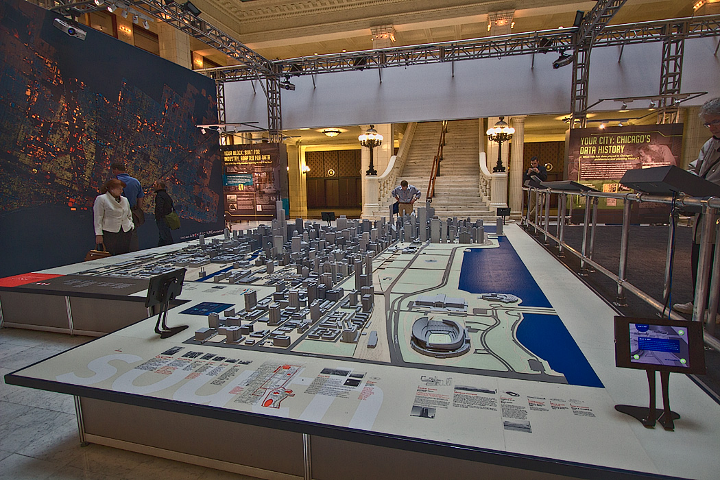
Model of the City of Chicago at the Chicago Architectural Foundation, showing extensive green space along Lake Michigan. The plan was ahead of its time, and successfully set aside a large swath of public space along Lake Michigan, which makes Chicago’s downtown one of the most stunning in the country.
Isn’t it great to see people with foresight that leave such a great legacy for centuries and generations to come.
In Sydney, in the mid 1810s (yes, 1810s) the governor and his wife of the fledgling settlement set aside an area in the city to be a scientific gardens and Sydney’s Royal Botanic Gardens continues to occupy prime real estate as a superb green space.
Some of the modern decision making hasn’t been so good…
Hi Mark: I’d venture to say that if plans were being made today for the City of Chicago, we’d never see such a massive amount of green space set aside for public use, as the land is so valuable. Chicago is very fortunate indeed to have had designers with great vision involved in the land use planning. Sydney is equally fortunate; I’ve been to the Botanic Gardens and they are stunning.